About the map of Kamilari

This maps was developed to help with the information about Kamialri village and the surrounding places and toponyms. At the same time is displaying alternative chartographic basemaps of the area that are listed below.
Available data
The user can select on or more from the available maps, either from Google, or ESRI’s or Open Street. At the same time there is the ability to add the below map images:
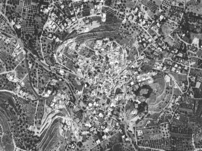
Airphotos 1960
Airphotos 1990
GYS map 1:50.000
GYS map 1:5.000
Comparison of airphotos
Air photos 1960 – 1990
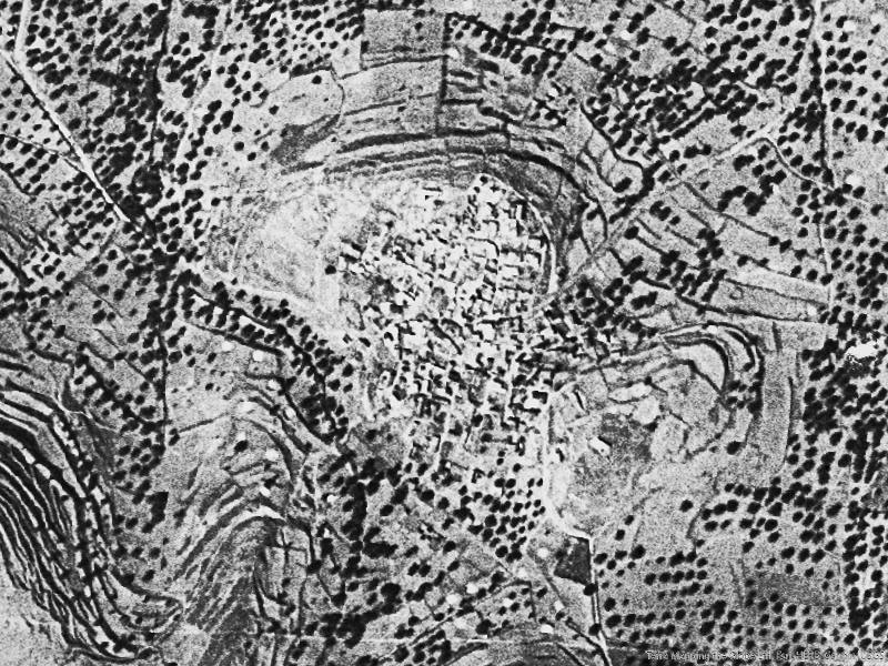
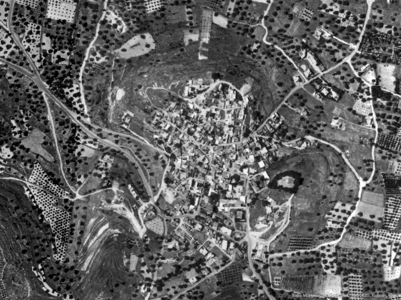
Air photos 1990 – 2020